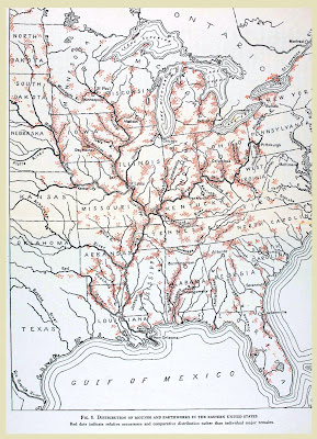
Gregory Little makes an important observation about the Smithsonian map from the late 1800s.
I need to do this again… this is the Smithsonian’s Bureau of Ethnology map showing the general distribution of mound sites they had identified in the eastern half of the USA by the late 1800s. The red dots indicate areas where mounds, sometimes hundreds, were found. However, they typically then looked only at places that were easily visited: by roads, railways, and rivers. For just one simple example, the entire Gulf coast of Florida should be solid red. Another example: the mountains of NE Alabama has hundreds to a thousand or more stone mounds that were not found until the 2000s.
Source: Letter VII

